В ПРОДАЖЕ в течение ограниченного времени!
Дней
Часы
Мин.
сек
-30%
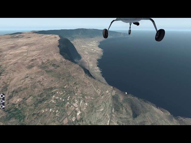
MeshXP Spain is compiled using 19 m resolution elevation models. MeshXP function is to add elvations points to the terrain to further increase elevations precision and a better shaped terrain. Shorelines have been also upgraded to be more precise. This mesh can be used on its own or underneath photorealistic scenery. It use Xplane 11 default Vectors ie roads, landlass. Hydrology is extracted from from the latest osm data. This is an xp11 terrain mesh. Coverage: Spain including Canary and Balearic Islands. No decrease of frame rates. All MeshXP packages are designed to fit into each over to provide continuous coverage. All MeshXP scenery work in Windows and Mac.