ON SALE for a limited time!
Days
Hours
Mins
Secs
-40%
The airport of Barcelonnette - Saint-Pons (AITA code: BAE) is an airport of the Alpes-de-Haute-Provence department. Located in the town of Saint-Pons, it is equipped with a track of 800 meters, but no lighting. A gliding center uses it.
Situation:
The aerodrome is located 3 km west of Barcelonnette on the edge of the Ubaye in the town of Saint-Pons.
Approval. Barcelonnette-Saint-Pons airport is included in List 1 (aerodromes open to public air traffic) of aerodromes authorized on 31 January 2010 (Decree: NOR: DEVA1012766K) 1.
This aerodrome is open to national commercial traffic, private aircraft and day VFR.
Infrastructures. The aerodrome has a coated runway oriented 09/27 (QFU 092/272) 800 m long by 30 m wide.
The airport has no lights and is therefore not approved for night VFR or IFR.
Refueling in AVGAS 100LL and TRO is possible for civilian and military personnel. There is no Customs or Police, but an SSLIA (Level 1 Air Rescue and Firefighting Service at Aerodromes).
No control service, traffic is carried out on the frequency of self-information: 123.500 Mhz.
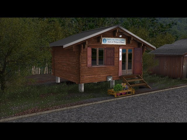
The manager of the aerodrome is the center of Gliding of Barcelonnette.
Attachments:
Barcelonnette is a small airport which depends on the aeronautical district Provence and does not have services of the DGAC. For aeronautical information, preparation of flights and filing of flight plans, it is attached to the BRIA (Regional Aeronautical Information Office) of the Marseille Provence Airport.
For the monitoring of VFR flights with a flight plan and for the warning service, the aerodrome depends on the telecommunications and flight information office (BTIV) of the Center en route of the air navigation South-East of Aix-en -Provence.
Flying clubs:
Only one aeroclub is present on the ground, the gliding center of the Ubaye.
Features:
Microsoft Flight Simulator X or -Microsoft Flight Simulator X Steam or
Lockheed Martin Prepar3D V3 or Lockheed Martin Prepar3D V4
Windows XP (SP2) / Vista / 7 / 8 / 10
Dual Core Processor with 2.66 Ghz or faster
2 Go Ram
3D graphics card with at least 512 MB
Total Reviews
Average Rating