


Details
New highly detailed MESH South Asia, with a REAL resolution of 30m in High Quality, using the last data from the NASA mission SRMT.
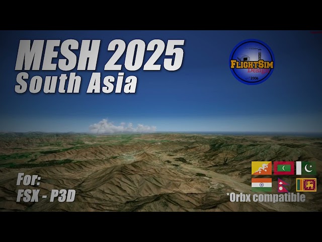
Detailed geographic elevation information, including countries & regions: It includes Bangladesh, Bhutan, India, the Maldives, Nepal, Pakistan, Sri Lanka and more.
For FSX / P3D/ P3Dv4 / P3Dv5
Compatible with Orbx
Features:
- High Quality Coverage of East Asia (LOD9 to LOD12)
- sophisticated new algorithm for correct views of ridges and peaks
- new algorithm for reducing irrelevant data for higher data compression and a new algorithm for finding and correcting errors
- Required 2.5GB HDD Space
Tags
Requirements
FSX / P3Dv3 /P3Dv4 / P3Dv5 / P3Dv6
Recommended Products

€ 8.99
$
USD 10.28
All sales based on Euro. Other currencies shown as reference only.£
GBP 7.62
All sales based on Euro. Other currencies shown as reference only.¥
CNY 73.87
All sales based on Euro. Other currencies shown as reference only.
€ 7.00
$
USD 8.00
All sales based on Euro. Other currencies shown as reference only.£
GBP 5.93
All sales based on Euro. Other currencies shown as reference only.¥
CNY 57.52
All sales based on Euro. Other currencies shown as reference only.
€ 11.99
$
USD 13.71
All sales based on Euro. Other currencies shown as reference only.£
GBP 10.16
All sales based on Euro. Other currencies shown as reference only.¥
CNY 98.52
All sales based on Euro. Other currencies shown as reference only.
€ 19.49
$
USD 22.28
All sales based on Euro. Other currencies shown as reference only.£
GBP 16.52
All sales based on Euro. Other currencies shown as reference only.¥
CNY 160.15
All sales based on Euro. Other currencies shown as reference only.
€ 23.99
$
USD 27.43
All sales based on Euro. Other currencies shown as reference only.£
GBP 20.33
All sales based on Euro. Other currencies shown as reference only.¥
CNY 197.13
All sales based on Euro. Other currencies shown as reference only.
€ 20.75
$
USD 23.72
All sales based on Euro. Other currencies shown as reference only.£
GBP 17.59
All sales based on Euro. Other currencies shown as reference only.¥
CNY 170.51
All sales based on Euro. Other currencies shown as reference only.
€ 5.00
$
USD 5.72
All sales based on Euro. Other currencies shown as reference only.£
GBP 4.24
All sales based on Euro. Other currencies shown as reference only.¥
CNY 41.09
All sales based on Euro. Other currencies shown as reference only.
€ 18.50
$
USD 21.15
All sales based on Euro. Other currencies shown as reference only.£
GBP 15.68
All sales based on Euro. Other currencies shown as reference only.¥
CNY 152.02
All sales based on Euro. Other currencies shown as reference only.