


Details
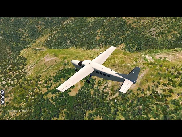
MeshXP France is compiled using 19 m resolution elevation models. MeshXP function is to add elvations points to the terrain to further increase elevations precision and a better shaped terrain. Shorelines have been also upgraded to be more precise. This mesh can be
used on its own or underneath photorealistic scenery. It use Xplane 11 default Vectors ie roads, landclass. Hydrology is extracted from the latest osm data. This is an xp11 terrain mesh. Coverage: France . No decrease of frame rates. All MeshXP packages are designed to fit into each over to provide continuous coverage. All MeshXP scenery work in Windows and Mac.
使用需求
模拟平台:X-Plane 11
CPU:Intel Core i5 6600K 3.5 Ghz 或更高频率
内存:16 GB
显卡:支持 DirectX 12, 配备 4 GB 显存
硬盘:1.5 GB 可用空间
CPU:Intel Core i5 6600K 3.5 Ghz 或更高频率
内存:16 GB
显卡:支持 DirectX 12, 配备 4 GB 显存
硬盘:1.5 GB 可用空间
购买了该商品的顾客还买了

€ 10.99
$
USD 12.66
所有商品的售价基准为欧元,其他货币价格仅供参考!£
GBP 9.53
所有商品的售价基准为欧元,其他货币价格仅供参考!¥
CNY 87.51
所有商品的售价基准为欧元,其他货币价格仅供参考!
€ 21.81
$
USD 25.12
所有商品的售价基准为欧元,其他货币价格仅供参考!£
GBP 18.91
所有商品的售价基准为欧元,其他货币价格仅供参考!¥
CNY 173.66
所有商品的售价基准为欧元,其他货币价格仅供参考!
€ 10.99
$
USD 12.66
所有商品的售价基准为欧元,其他货币价格仅供参考!£
GBP 9.53
所有商品的售价基准为欧元,其他货币价格仅供参考!¥
CNY 87.51
所有商品的售价基准为欧元,其他货币价格仅供参考!
€ 10.99
$
USD 12.66
所有商品的售价基准为欧元,其他货币价格仅供参考!£
GBP 9.53
所有商品的售价基准为欧元,其他货币价格仅供参考!¥
CNY 87.51
所有商品的售价基准为欧元,其他货币价格仅供参考!
€ 21.50
$
USD 24.76
所有商品的售价基准为欧元,其他货币价格仅供参考!£
GBP 18.64
所有商品的售价基准为欧元,其他货币价格仅供参考!¥
CNY 171.20
所有商品的售价基准为欧元,其他货币价格仅供参考!
€ 17.82
$
USD 20.52
所有商品的售价基准为欧元,其他货币价格仅供参考!£
GBP 15.45
所有商品的售价基准为欧元,其他货币价格仅供参考!¥
CNY 141.89
所有商品的售价基准为欧元,其他货币价格仅供参考!
€ 16.20
$
USD 18.66
所有商品的售价基准为欧元,其他货币价格仅供参考!£
GBP 14.05
所有商品的售价基准为欧元,其他货币价格仅供参考!¥
CNY 128.99
所有商品的售价基准为欧元,其他货币价格仅供参考!
€ 17.82
$
USD 20.52
所有商品的售价基准为欧元,其他货币价格仅供参考!£
GBP 15.45
所有商品的售价基准为欧元,其他货币价格仅供参考!¥
CNY 141.89
所有商品的售价基准为欧元,其他货币价格仅供参考!